Custom build
A Gate Map Backed by Its Own Database
Before leaving to access a destination, it is unclear which gates are in the way, whether they are open or closed, and whether you will have cell service on the trip.
Island Gates shows the gates on the road to that place and marks each one open, closed, or unknown. The sheet for a gate states cell service there: yes and the carrier names, no, or unknown. The iPhone app is the client. PostgreSQL with PostGIS holds the records, and an API is how the phone reads and updates them.
Gates on the map
61
live API, 29 September 2026
Open
27
status word and pin shape
Closed
21
status word and pin shape
Unknown
13
status word and pin shape
Places on a gated road
28
13 accessible, 1 blocked, 3 alternate only, 11 unknown
The Database
Each gate has a coordinate, a status, and a history of status changes. A place is stored when a known gate sits on its access road, with the roads that connect it to the public network and the gates those roads cross.
An optional set of rows records cell service. While that switch is on, the app sends a sample about once a minute, including in the background: precise location, a device id kept on the phone, and the carrier name. A sample within 10 metres of one already stored is dropped.
The API
The public API is gates.avanalytics.ca. It serves the gate list, the places behind those gates, photo reports, and cell-service samples. The map does not require an account.
A photo report includes the picture and the location stored in the picture. A vision model reads the photo. The stored status becomes open or closed only when that reading matches what the person reported. A disagreement leaves the gate unchanged.
The Phone
The iPhone app has the map, the place list, and a saved list. Saved gates, saved destinations, and the notification choice stay on the phone. Alerts can cover every gate, only saved gates, or none, and they are posted only while the app is open. The map refreshes about every 2 minutes in that same window.
Settings chooses Light, Dark, or System. A $5 support purchase is handled by Apple and does not unlock a feature.
The Screens
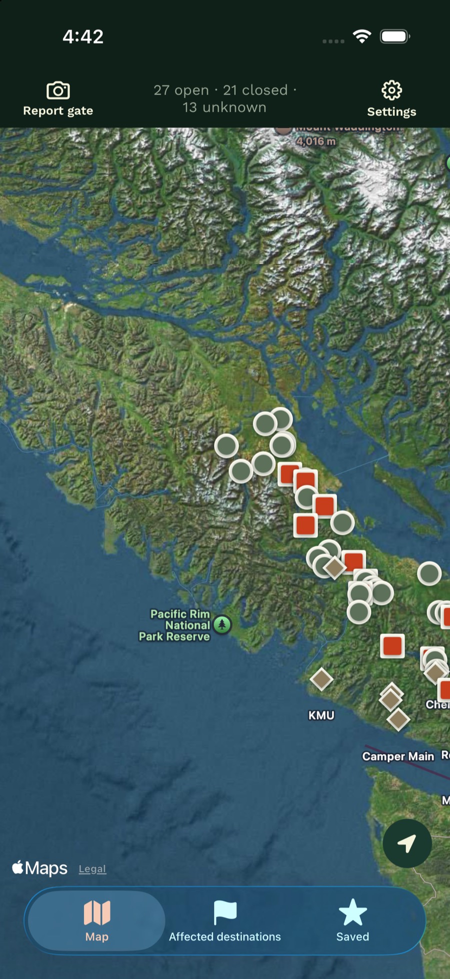
The map reads the gate table. Open, closed, and unknown each use a word and a pin shape. 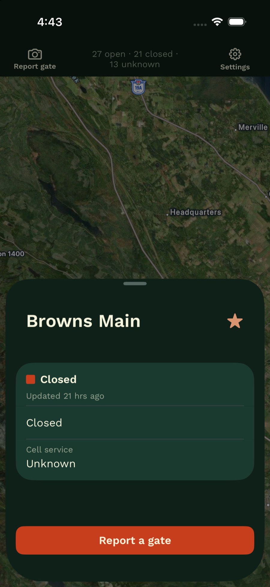
A pin opens the status, when it last changed, the hours text when the gate is closed, and cell service at that spot. 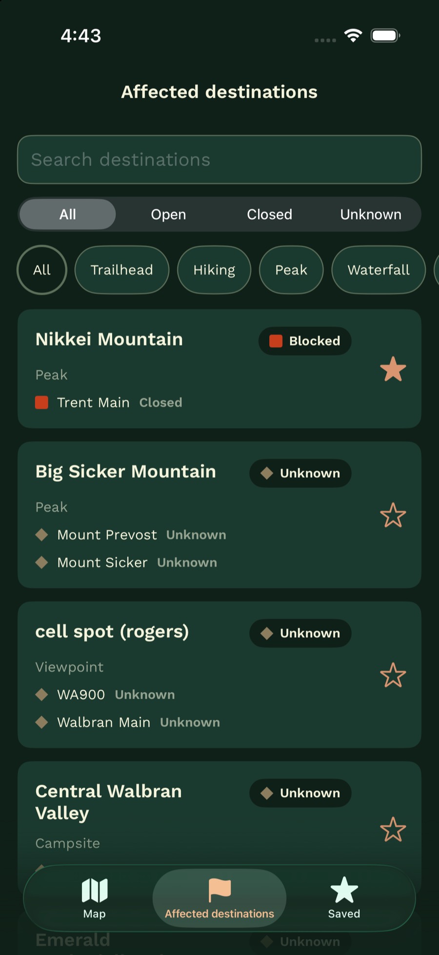
A place is listed when a known gate sits on its access road. Search, access, and kind filter the list. 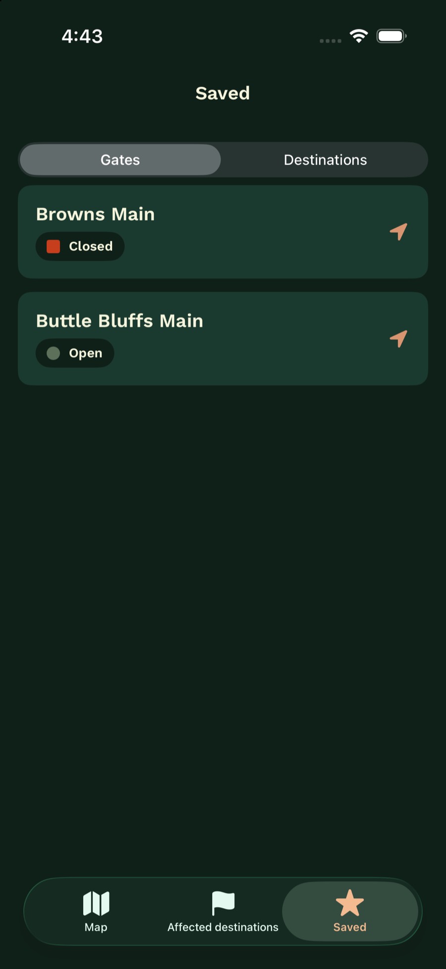
Saved gates stay on the phone. Alerts can be limited to this list. 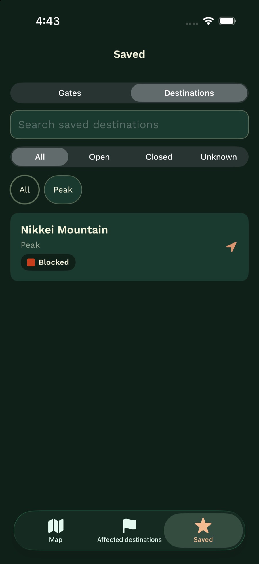
Saved destinations stay on the phone, with the same access and kind filters. 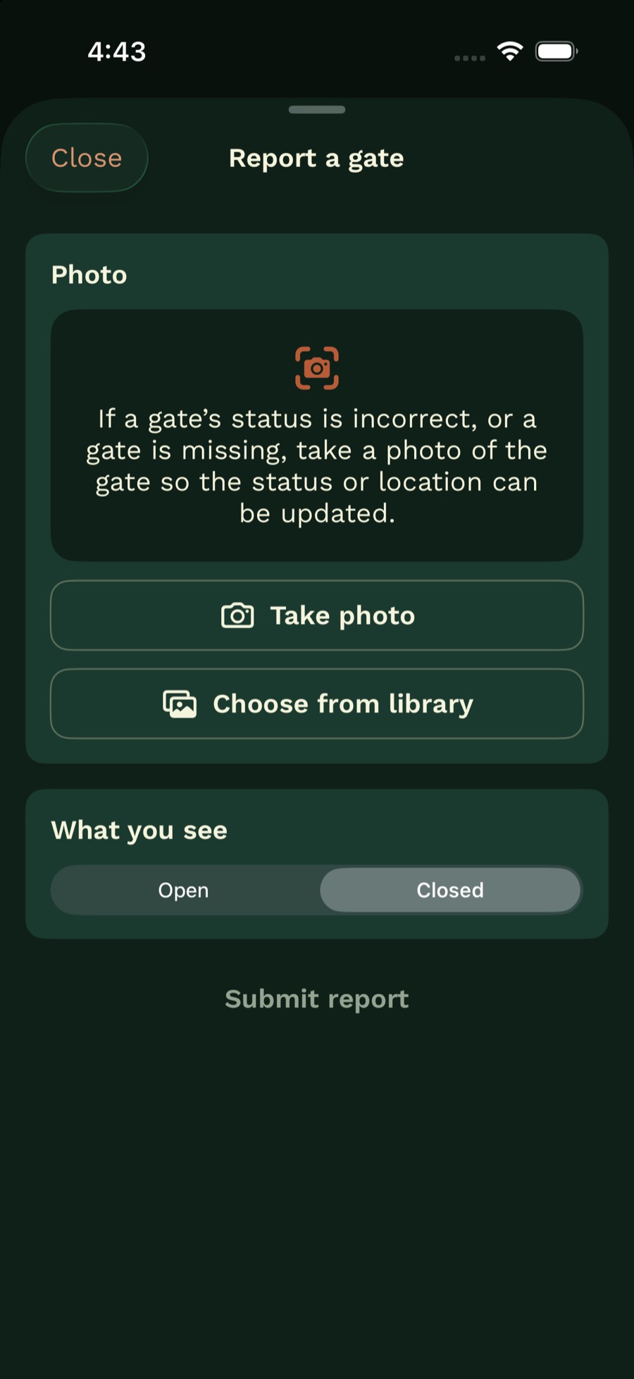
A report sends a photo, the location in that photo, and whether the gate looks open or closed. 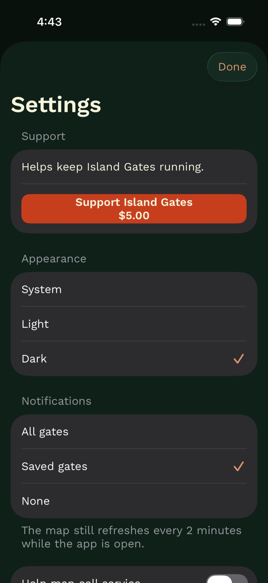
Settings chooses appearance and which alerts to post. The support purchase is $5 and does not unlock a feature.
A Build Like This
The same three parts apply to a private map of assets, a field-status list, or a spatial table a team already keeps: a PostgreSQL database, an API that writes it, and a phone or web client that does not talk to the database directly.
The status rule sits in that API. The phone can send a report. It cannot mark a gate open on its own.
Privacy
A gate photo and the location in that photo are sent to gates.avanalytics.ca so the status can be checked.
Saved gates, saved destinations, and the notification choice stay on the phone.
The map does not require an account.
With Help map cell service on, the app sends precise location, a device id kept on the phone, and the carrier name to gates.avanalytics.ca.
The form on this page sends your name, email, and message to Arbutus Visual Analytics by email. We use them to reply.
Support
Send a question about Island Gates. You can also email marc@avanalytics.ca.